Eastmans Archeological DiscoveriesI perform remote worldwide exploration, searching for new archeological locations. The new locations are documented using photos and GPS coordinates.

This website will be down for maintenance and will be offline for 2 to 4 hours on Wednesday, May 16th (PST), Thank you for your patience. The images shown are in 8K resolution. They are best viewed on high-definition monitors.

To magnify the image. Choose an Album to view. Click on an image to open it, then click on the square icon on the upper right and choose a size. For the largest size, choose "original".

Ruins.jpg 2019-04-03 15-10-37MiniaturasSlide112019-04-03 15-10-37MiniaturasSlide11

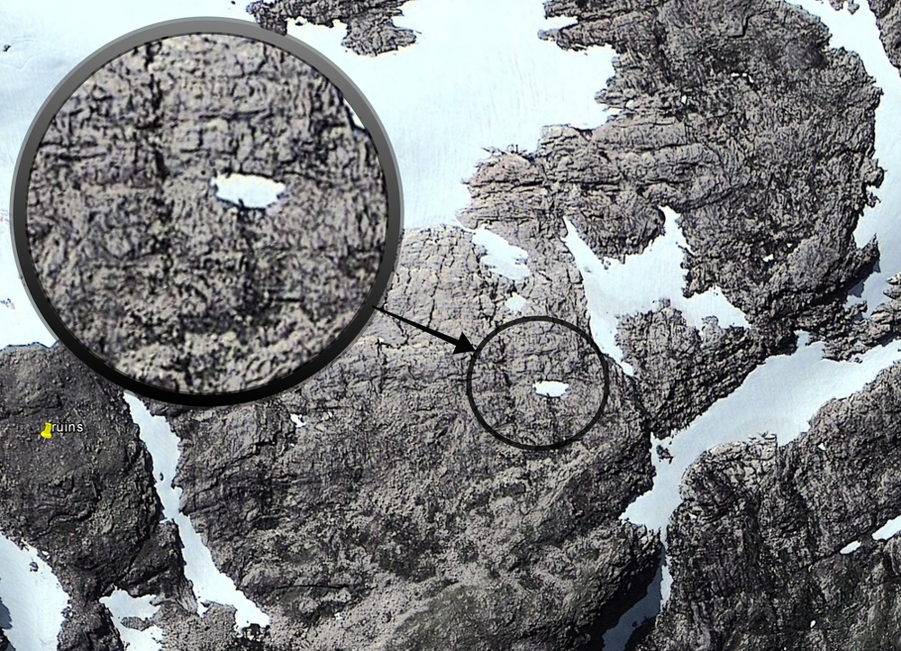
Look at the smallest details. I see a rocky landscape where the surface was heavily altered in order to define geometric shapes possibly used as living spaces. In between the areas are what seem to be ditches or canals. Also, there are stones in rows going from area to area and from the bottom of the bordering ditches to the top.